| Item Detail |
| |
| |
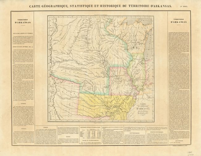
MapMaker: |
Jean Alexandre Buchon
|
|
| |
| |
Subject: |
Central United States, Arkansas |
|
| |
Period/Size: |
1825 / 14.0" x 14.3" (35.6 x 36.4 cm)
|
|
| |
Color: |
Colored
|
|
| |
Condition: |
(+B) Lightly toned with original color and a couple faint spots in the map. (condition help) |
|
| |
Source: |
Atlas Geographique, Statistique, Historique et Chronologiqueģ |
|
| |
References: |
Phillips (A) 1176-39; cf Wheat (TMW) 348. |
|
| |
|
|
| Sales Information |
| |
| |
Price: |
|
|
| |
| |
Offered by: |
Old World Auctions |
|
| |
Catalog: |
Auction No. 128 - Antique Maps, Charts, Atlases & Globes (679) |
|
| |
Lot/Item #: |
265 |
|
| |
| |
Date: |
05/2009
|
|
| |
| |
|