| Item Detail |
| |
| |
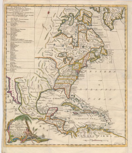
MapMaker: |
John Gibson
|
|
| |
| |
Subject: |
Colonial North America |
|
| |
Period/Size: |
1762 / 13.3" x 11.5" (33.8 x 29.3 cm)
|
|
| |
Color: |
Colored
|
|
| |
Condition: |
(+B) Issued folding, now flattened with the binding trim at lower right replaced to accommodate framing, and a 1" binding tear neatly repaired. (condition help) |
|
| |
Source: |
The Universal Museum |
|
| |
References: |
Jolly UMUS-10; Phillips (M) p. 579 & 1056. |
|
| |
|
|
| Sales Information |
| |
| |
Price: |
|
|
| |
| |
Offered by: |
Old World Auctions |
|
| |
Catalog: |
Auction No. 128 - Antique Maps, Charts, Atlases & Globes (679) |
|
| |
Lot/Item #: |
146 |
|
| |
| |
Date: |
05/2009
|
|
| |
| |
|