| Item Detail |
| |
| |
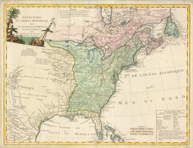
MapMaker: |
Charles Francois Delamarche
|
|
| |
| |
Subject: |
Colonial United States & Canada |
|
| |
Period/Size: |
1785 / 18.5" x 25.0" (47.0 x 63.5 cm)
|
|
| |
Color: |
Colored
|
|
| |
Condition: |
(+B) Some light surface soil and extraneous creases, else very good. The margins have been trimmed, but are still more than adequate, and there is some old tape stain of the verso edges, not affecting the map. (condition help) |
|
| |
Source: |
Atlas Universal |
|
| |
References: |
Karpinski (MI) #CIII; McCorkle #785.5; Seller & Van Ee 187. |
|
| |
|
|
| Sales Information |
| |
| |
Price: |
|
|
| |
| |
Offered by: |
Old World Auctions |
|
| |
Catalog: |
Auction No. 129 - Antique Maps, Charts, Atlases & Globes (680) |
|
| |
Lot/Item #: |
145 |
|
| |
| |
Date: |
09/2009
|
|
| |
| |
|