Title:
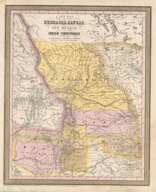
“A New Map of Nebraska, Kansas, New Mexico, and Indian Territories”
Map Maker:
Charles Desilver
When Desilver took over the publication of Mitchel... (full text available to subscribers)
| Item Detail |
| |
| |
MapMaker: |
Charles Desilver
|
|
| |
| |
Subject: |
United States - Midwest |
|
| |
Period/Size: |
1856 / 16.0" x 13.0" (40.7 x 33.1 cm)
|
|
| |
Color: |
Colored
|
|
| |
Condition: |
(+B) Very nice impression with original hand coloring that is slightly faded. There are some light mildew spots in a portion of the upper and lower margin. The left, binding side, was trimmed but has been extended professionally and in a manner that mak (condition help) |
|
| |
Source: |
New Universal Atlas |
|
| |
References: |
|
|
| |
|
|
| Sales Information |
| |
| |
Price: |
|
|
| |
| |
Offered by: |
Old World Auctions |
|
| |
Catalog: |
Auction No. 129 - Antique Maps, Charts, Atlases & Globes (680) |
|
| |
Lot/Item #: |
225 |
|
| |
| |
Date: |
09/2009
|
|
| |
| |
|
Antique Maps - Valuation and Pricing, Descriptions, Resources |
|
Home |
Information |
Search |
Register |
Contact Us |
Site Map
Americana Exchange, Inc. © 1999 - 2024 Americana Exchange, Inc.. All rights reserved.
OldMaps.com, the OldMaps.com logo and
AMPR are service marks or registered service marks of Americana Exchange, Inc..
|