| Item Detail |
| |
| |
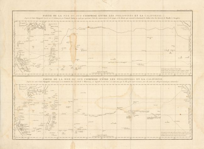
MapMaker: |
Jean Francois Galaup de La Perouse
|
|
| |
| |
Subject: |
Pacific Ocean |
|
| |
Period/Size: |
1797 / 19.2" x 26.8" (48.8 x 68.1 cm)
|
|
| |
Color: |
Black & White
|
|
| |
Condition: |
(B) Issued folding, now flattened. There is an old paper repaired tear in the top margin and some damp stains in the map. (condition help) |
|
| |
Source: |
Atlas du Voyage de La Perouse |
|
| |
References: |
|
|
| |
|
|
| Sales Information |
| |
| |
Price: |
|
|
| |
| |
Offered by: |
Old World Auctions |
|
| |
Catalog: |
Auction No. 129 - Antique Maps, Charts, Atlases & Globes (680) |
|
| |
Lot/Item #: |
833 |
|
| |
| |
Date: |
09/2009
|
|
| |
| |
|