| Item Detail |
| |
| |
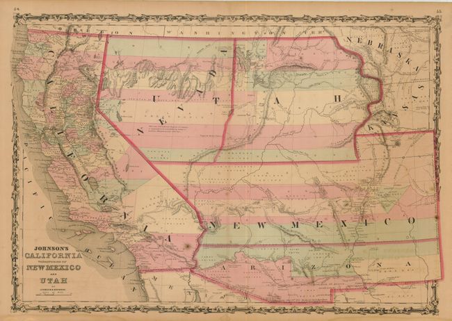
MapMaker: |
Johnson & Browning
|
|
| |
| |
Subject: |
Southwestern United States |
|
| |
Period/Size: |
1861 / 17.0" x 24.5" (43.2 x 62.3 cm)
|
|
| |
Color: |
Colored
|
|
| |
Condition: |
(+B) Toned with nice original color and a few minor spots. The centerfold has been repaired with archival tape on verso. There is some damp stains and chipping in the blank margins, well away from the map. (condition help) |
|
| |
Source: |
Illustrated Family Atlas |
|
| |
References: |
Wheat [TMW] #1027. |
|
| |
|
|
| Sales Information |
| |
| |
Price: |
|
|
| |
| |
Offered by: |
Old World Auctions |
|
| |
Catalog: |
Auction No. 129 - Antique Maps, Charts, Atlases & Globes (680) |
|
| |
Lot/Item #: |
236 |
|
| |
| |
Date: |
09/2009
|
|
| |
| |
|