| Item Detail |
| |
| |
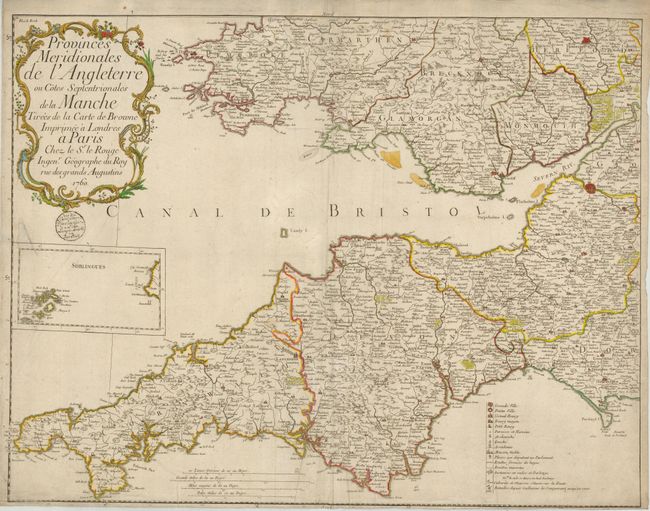
MapMaker: |
George Louis Le Rouge
|
|
| |
| |
Subject: |
England & Wales |
|
| |
Period/Size: |
1760 / 20.8" x 26.8" (52.9 x 68.1 cm)
|
|
| |
Color: |
Colored
|
|
| |
Condition: |
(B) Dark impression, original hand coloring. Small wood-block stamp below cartouche appears to be that of the map seller. Close margin at bottom with a little loss to meridian numbers, some lazy creases along centerfold, and a small puncture at extreme (condition help) |
|
| |
Source: |
|
|
| |
References: |
|
|
| |
|
|
| Sales Information |
| |
| |
Price: |
|
|
| |
| |
Offered by: |
Old World Auctions |
|
| |
Catalog: |
Auction No. 129 - Antique Maps, Charts, Atlases & Globes (680) |
|
| |
Lot/Item #: |
489 |
|
| |
| |
Date: |
09/2009
|
|
| |
| |
|