| Item Detail |
| |
| |
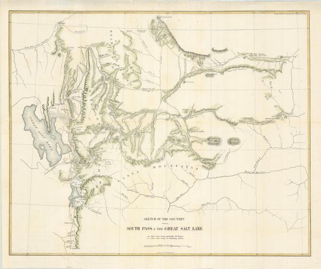
MapMaker: |
U.S. Government
|
|
| |
| |
Subject: |
Utah |
|
| |
Period/Size: |
1858 / 17.5" x 21.5" (44.5 x 54.7 cm)
|
|
| |
Color: |
Colored
|
|
| |
Condition: |
(+B) Issued folded, now flattened and backed with light Japanese tissue to reinforce fold intersections. The binding trim at lower left has been replaced to accommodate framing. Pleasant later color. (condition help) |
|
| |
Source: |
Senate Doc. 11, 35th Congress 1st Session. |
|
| |
References: |
Wheat (TMW) #958. |
|
| |
|
|
| Sales Information |
| |
| |
Price: |
|
|
| |
| |
Offered by: |
Old World Auctions |
|
| |
Catalog: |
Auction No. 129 - Antique Maps, Charts, Atlases & Globes (680) |
|
| |
Lot/Item #: |
343 |
|
| |
| |
Date: |
09/2009
|
|
| |
| |
|