| Item Detail |
| |
| |
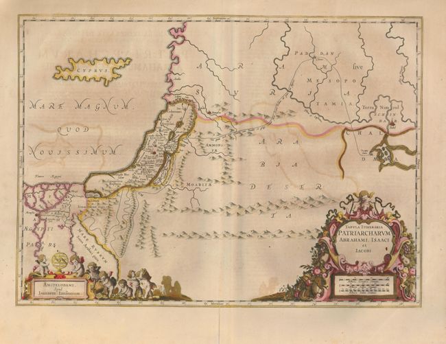
MapMaker: |
Jan Jansson
|
|
| |
| |
Subject: |
Holy Land |
|
| |
Period/Size: |
1652 / 14.6" x 20.3" (37.1 x 51.6 cm)
|
|
| |
Color: |
Colored
|
|
| |
Condition: |
(B) On thick paper with wide margins and dark impression. Some offsetting and a long split at lower centerfold in very wide margin, closed with archival tape, cracks supported on verso. (condition help) |
|
| |
Source: |
Accuratissima Orbis Delineatio, sive Geographia Vetus, Sacra & Profana |
|
| |
References: |
|
|
| |
|
|
| Sales Information |
| |
| |
Price: |
|
|
| |
| |
Offered by: |
Old World Auctions |
|
| |
Catalog: |
Auction No. 129 - Antique Maps, Charts, Atlases & Globes (680) |
|
| |
Lot/Item #: |
723 |
|
| |
| |
Date: |
09/2009
|
|
| |
| |
|