| Item Detail |
| |
| |
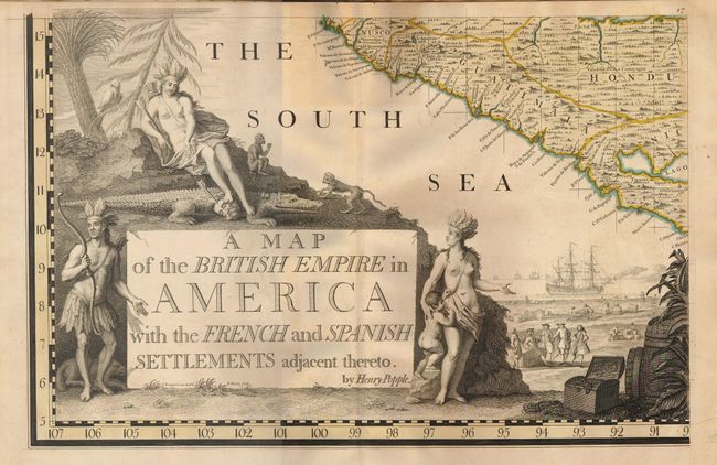
MapMaker: |
Henry Popple
|
|
| |
| |
Subject: |
Colonial North America and West Indies |
|
| |
Period/Size: |
1734 / unknown
|
|
| |
Color: |
Colored
|
|
| |
Condition: |
(+B) Overall very good with minimal toning on a few sheets. There is some minor worming on the upper fold from Sheet 13 to Sheet 20 (most visible on Sheet 19). The covers are worn with the front cover separated. Sheet 1 is disbound and Sheet 3 is split (condition help) |
|
| |
Source: |
|
|
| |
References: |
Babinski (http://usm.maine.edu/maps/popple); Cumming (SE) #216; Prichard & Taliaferro pp 134-141. |
|
| |
|
|
| Sales Information |
| |
| |
Price: |
|
|
| |
| |
Offered by: |
Old World Auctions |
|
| |
Catalog: |
Auction No. 129 - Antique Maps, Charts, Atlases & Globes (680) |
|
| |
Lot/Item #: |
117 |
|
| |
| |
Date: |
09/2009
|
|
| |
| |
|