| Item Detail |
| |
| |
MapMaker: |
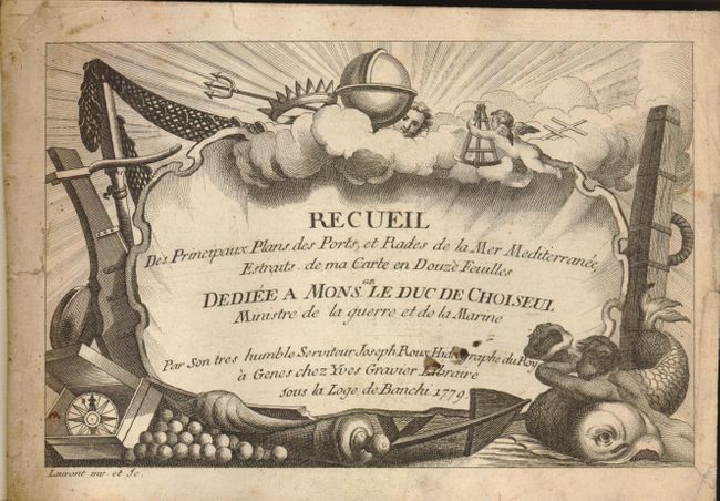
Joseph Roux
|
|
| |
| |
Subject: |
Atlases - Mediterranean |
|
| |
Period/Size: |
1779 / 6.3" x 9.0" (16.0 x 22.9 cm)
|
|
| |
Color: |
Black & White
|
|
| |
Condition: |
(A) The maps are generally very good or fine, each with dark, early impressions. The first 16 maps have a little damp stain at upper right corner. Title page is soiled with some short edge tears. On verso of the last map (Pl. 121) is an ink manuscript (condition help) |
|
| |
Source: |
|
|
| |
References: |
|
|
| |
|
|
| Sales Information |
| |
| |
Price: |
|
|
| |
| |
Offered by: |
Old World Auctions |
|
| |
Catalog: |
Auction No. 129 - Antique Maps, Charts, Atlases & Globes (680) |
|
| |
Lot/Item #: |
887 |
|
| |
| |
Date: |
09/2009
|
|
| |
| |
|