Title:
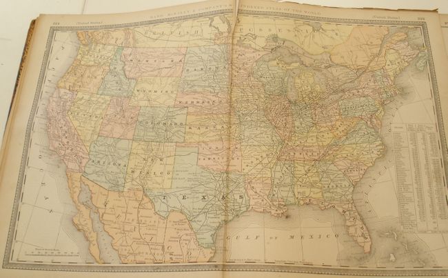
“Rand McNally & Co.'s New Indexed Atlas of the World”
Map Maker:
Rand, McNally & Co.
Thick 4to atlas with numerous double page maps and... (full text available to subscribers)
| Item Detail |
| |
| |
MapMaker: |
Rand, McNally & Co.
|
|
| |
| |
Subject: |
Atlases |
|
| |
Period/Size: |
1887 / 14.5" x 11.0" (36.9 x 28.0 cm)
|
|
| |
Color: |
Colored
|
|
| |
Condition: |
(B) Lacking some pages and the maps related to France and Germany. Covers detached and first few pages missing or rough but the maps themselves are generally very good. The four large folding state maps vary from badly torn (Ohio) to good (Texas). Shou (condition help) |
|
| |
Source: |
|
|
| |
References: |
|
|
| |
|
|
| Sales Information |
| |
| |
Price: |
|
|
| |
| |
Offered by: |
Old World Auctions |
|
| |
Catalog: |
Auction No. 130 - Antique Maps, Charts, Atlases & Globes (681) |
|
| |
Lot/Item #: |
865 |
|
| |
| |
Date: |
12/2009
|
|
| |
| |
|
Antique Maps - Valuation and Pricing, Descriptions, Resources |
|
Home |
Information |
Search |
Register |
Contact Us |
Site Map
Americana Exchange, Inc. © 1999 - 2024 Americana Exchange, Inc.. All rights reserved.
OldMaps.com, the OldMaps.com logo and
AMPR are service marks or registered service marks of Americana Exchange, Inc..
|