| Item Detail |
| |
| |
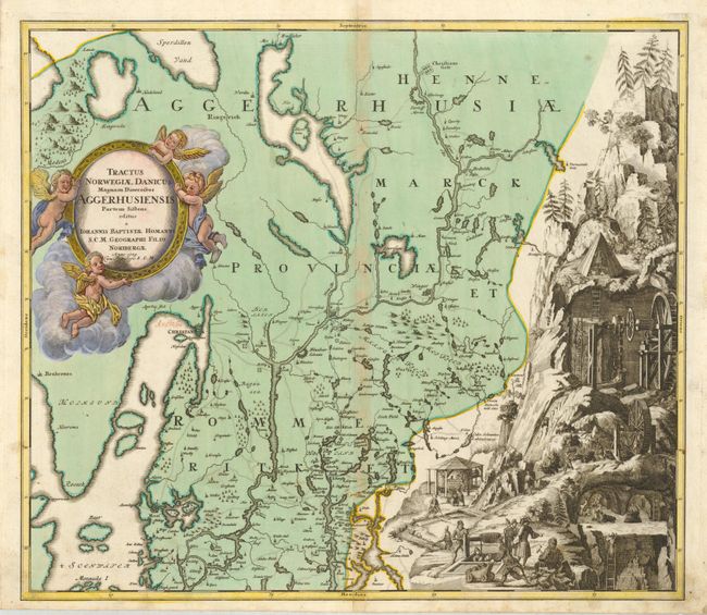
MapMaker: |
Johann Baptist Homann
|
|
| |
| |
Subject: |
Norway |
|
| |
Period/Size: |
1729 / 18.8" x 21.5" (47.8 x 54.7 cm)
|
|
| |
Color: |
Colored
|
|
| |
Condition: |
(+B) Centerfold toned with a repair in lower margin to border, an old faded red ink notation in blank sea near Christia and some soiling in lower right margin. Otherwise a flawless example with a strong impression, with the map in original color on very (condition help) |
|
| |
Source: |
|
|
| |
References: |
Ginsberg (Scandia) #CE57. |
|
| |
|
|
| Sales Information |
| |
| |
Price: |
|
|
| |
| |
Offered by: |
Old World Auctions |
|
| |
Catalog: |
Auction No. 130 - Antique Maps, Charts, Atlases & Globes (681) |
|
| |
Lot/Item #: |
455 |
|
| |
| |
Date: |
12/2009
|
|
| |
| |
|