| Item Detail |
| |
| |
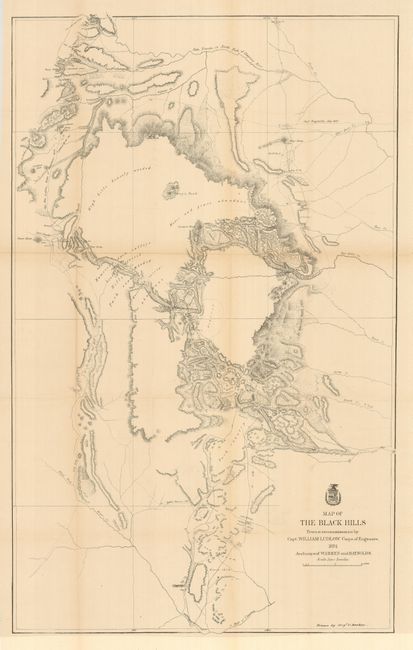
MapMaker: |
U.S. War Department
|
|
| |
| |
Subject: |
South Dakota |
|
| |
Period/Size: |
1874 / 38.0" x 23.5" (96.6 x 59.7 cm)
|
|
| |
Color: |
Black & White
|
|
| |
Condition: |
(+B) Issued folding, the fine example is pressed and backed with archival tissue to support one fold line weakness, and a little fold toning. Otherwise a very nice example on clean paper with original margins and a good impression. (condition help) |
|
| |
Source: |
Report of a Reconnaissance of the Black Hills of Dakota |
|
| |
References: |
Wheat (TMW) #1249. |
|
| |
|
|
| Sales Information |
| |
| |
Price: |
|
|
| |
| |
Offered by: |
Old World Auctions |
|
| |
Catalog: |
Auction No. 130 - Antique Maps, Charts, Atlases & Globes (681) |
|
| |
Lot/Item #: |
255 |
|
| |
| |
Date: |
12/2009
|
|
| |
| |
|