| Item Detail |
| |
| |
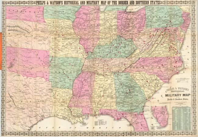
MapMaker: |
Gaylord Watson
|
|
| |
| |
Subject: |
Eastern United States, Civil War |
|
| |
Period/Size: |
1867 / 24.8" x 35.5" (63.0 x 90.2 cm)
|
|
| |
Color: |
Colored
|
|
| |
Condition: |
(+B) Beautiful, early impression and fine original hand color. A portion of a fold line with light toning and several small fold intersection splits which are closed on verso with archival tape, and long binding trim tear also closed on verso. The map p (condition help) |
|
| |
Source: |
|
|
| |
References: |
|
|
| |
|
|
| Sales Information |
| |
| |
Price: |
|
|
| |
| |
Offered by: |
Old World Auctions |
|
| |
Catalog: |
Auction No. 130 - Antique Maps, Charts, Atlases & Globes (681) |
|
| |
Lot/Item #: |
183 |
|
| |
| |
Date: |
12/2009
|
|
| |
| |
|