| Item Detail |
| |
| |
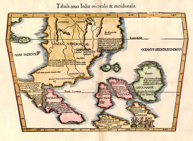
MapMaker: |
Ptolemy/Fries
|
|
| |
| |
Subject: |
South East Asia |
|
| |
Period/Size: |
1541 / 11.0" x 16.8" (28.0 x 42.7 cm)
|
|
| |
Color: |
Colored
|
|
| |
Condition: |
(+B) Great impression with wide original margins and faint toning along the centerfold. (condition help) |
|
| |
Source: |
Claudii Ptolemaei Alexandrini Geographicae |
|
| |
References: |
Karrow #28/45; Mickwitz et al. #211-42; Nordenskiold (Facs) #62; Suarez (SEA) Fig 62 pp.114-118. |
|
| |
|
|
| Sales Information |
| |
| |
Price: |
|
|
| |
| |
Offered by: |
Old World Auctions |
|
| |
Catalog: |
Auction No. 131 - Antique Maps, Charts, Atlases & Globes (682) |
|
| |
Lot/Item #: |
831 |
|
| |
| |
Date: |
02/2010
|
|
| |
| |
|