| Item Detail |
| |
| |
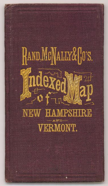
MapMaker: |
Rand, McNally & Co.
|
|
| |
| |
Subject: |
New England, Vermont & New Hampshire |
|
| |
Period/Size: |
1877 / 12.5" x 9.3" (31.8 x 23.7 cm)
|
|
| |
Color: |
Colored
|
|
| |
Condition: |
(A) Map has a trace of fold toning and an old ink drip at upper & lower right corners. The covers are fine with no flaws as is the booklet. A lovely example. (condition help) |
|
| |
Source: |
|
|
| |
References: |
|
|
| |
|
|
| Sales Information |
| |
| |
Price: |
|
|
| |
| |
Offered by: |
Old World Auctions |
|
| |
Catalog: |
Auction No. 131 - Antique Maps, Charts, Atlases & Globes (682) |
|
| |
Lot/Item #: |
212 |
|
| |
| |
Date: |
02/2010
|
|
| |
| |
|