| Item Detail |
| |
| |
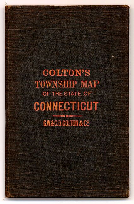
MapMaker: |
G.W. & C.B Colton [& Co.]
|
|
| |
| |
Subject: |
Connecticut |
|
| |
Period/Size: |
1882 / 17.6" x 24.3" (44.7 x 61.8 cm)
|
|
| |
Color: |
Colored
|
|
| |
Condition: |
(A) The map is near fine with just a hint of toning on lower horizontal fold. Lovely original hand coloring, crisp impression and full margins. The cover is very good with just slight bumping to corners. The inside pasted paper is separate at center. (condition help) |
|
| |
Source: |
|
|
| |
References: |
|
|
| |
|
|
| Sales Information |
| |
| |
Price: |
|
|
| |
| |
Offered by: |
Old World Auctions |
|
| |
Catalog: |
Auction No. 131 - Antique Maps, Charts, Atlases & Globes (682) |
|
| |
Lot/Item #: |
296 |
|
| |
| |
Date: |
02/2010
|
|
| |
| |
|