| Item Detail |
| |
| |
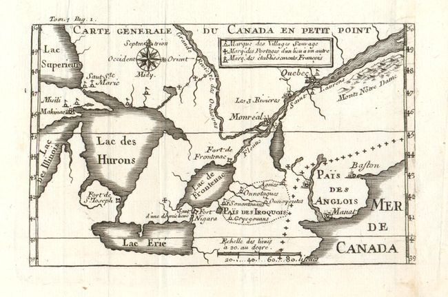
MapMaker: |
Louis Armand de Lom d'Arce, de Lahontan
|
|
| |
| |
Subject: |
Colonial Canada & United States |
|
| |
Period/Size: |
1704-09 / 3.5" x 5.5" (8.9 x 14.0 cm)
|
|
| |
Color: |
Black & White
|
|
| |
Condition: |
(+B) Map itself is fine, but binding trim just into neatline at right with old paper laid in to provide full margin. (condition help) |
|
| |
Source: |
Nouveau Voyages |
|
| |
References: |
Kershaw Vol.I No. 283; Karpinski (MI) p.53. |
|
| |
|
|
| Sales Information |
| |
| |
Price: |
|
|
| |
| |
Offered by: |
Old World Auctions |
|
| |
Catalog: |
Auction No. 131 - Antique Maps, Charts, Atlases & Globes (682) |
|
| |
Lot/Item #: |
147 |
|
| |
| |
Date: |
02/2010
|
|
| |
| |
|