| Item Detail |
| |
| |
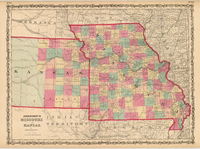
MapMaker: |
Johnson & Browning
|
|
| |
| |
Subject: |
Central United States, Missouri and Kansas |
|
| |
Period/Size: |
1860 / 17.0" x 23.0" (43.2 x 58.5 cm)
|
|
| |
Color: |
Colored
|
|
| |
Condition: |
(A) A really beautiful example with a strong, early impression and lovely original hand coloring and full margins. A fine example less a hint of offsetting in blank areas outside map image as a result of the strong impression. (condition help) |
|
| |
Source: |
Illustrated Family Atlas of the World |
|
| |
References: |
|
|
| |
|
|
| Sales Information |
| |
| |
Price: |
|
|
| |
| |
Offered by: |
Old World Auctions |
|
| |
Catalog: |
Auction No. 131 - Antique Maps, Charts, Atlases & Globes (682) |
|
| |
Lot/Item #: |
247 |
|
| |
| |
Date: |
02/2010
|
|
| |
| |
|